Nevada Statewide Wildlife Crossing Prioritization Study

Nevada Statewide Wildlife Crossing Prioritization Study
Identifying Wildlife-Vehicle Collision Hotspots Across Nevada's Highway System
- Identified top 30 priority locations across Nevada’s state highway system for future investment in wildlife crossings
- Incorporated highway safety, wildlife connectivity, feasibility and future conditions into a robust comprehensive model that will serve as an important transportation planning tool
In an average year, around 300 wildlife-vehicle collisions are reported on Nevada’s roads. According to the Nevada Department of Transportation (NDOT), most of those crashes involve mule deer and cost almost $13 million annually in property damage, human injury and loss of life. To address this issue, the Nevada State Legislature passed a bill in 2023 requiring NDOT to develop an inventory of wildlife connectivity needs on the state highway system, prioritize wildlife crossing locations, and review the standards and specifications necessary for incorporating wildlife crossings into highway design.
HDR assembled a team of biologists, ecologists, planners and engineers to assist NDOT. Under tight deadlines, the HDR team worked with various local, state, federal and tribal agencies to identify areas of concern. We used existing datasets like wildlife-vehicle collision records to identify hotspots for wildlife-highway conflicts across the state. Additionally, in close coordination with the Nevada Department of Wildlife, we identified important wildlife connectivity corridors and habitats where animals were successfully crossing roads and areas where the roads created a barrier due to traffic volume.
We coordinated with numerous stakeholders to build an inventory of wildlife connectivity needs and developed a multispecies statewide geospatial model that identified the top 30 priority locations for future investment in wildlife crossings and associated infrastructure like wildlife fencing. The goal was to not only reduce wildlife-vehicle collisions but also maintain connectivity across large landscapes. The model weighted both highway safety and ecological connectivity equally, identifying areas of concern using two dozen criteria represented by spatial datasets.
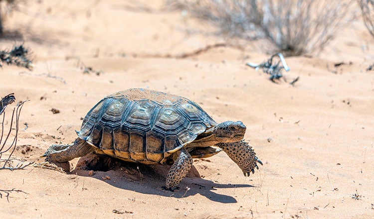
The top 30 priority locations ranged from a specific point on a highway to areas that cover 10 to 15 miles of connected road. Our work considered big game like mule deer and protected species like the desert tortoise. The top 30 locations are spread across Nevada in all corners of the state.
Going forward, NDOT can use information from the model and the top 30 locations to incorporate wildlife mitigation measures when planning transportation projects across the state.


